Introduction to GIS
1 What is a GIS?
A GIS is composed of five interacting parts that include hardware, software, data, procedures, and people.
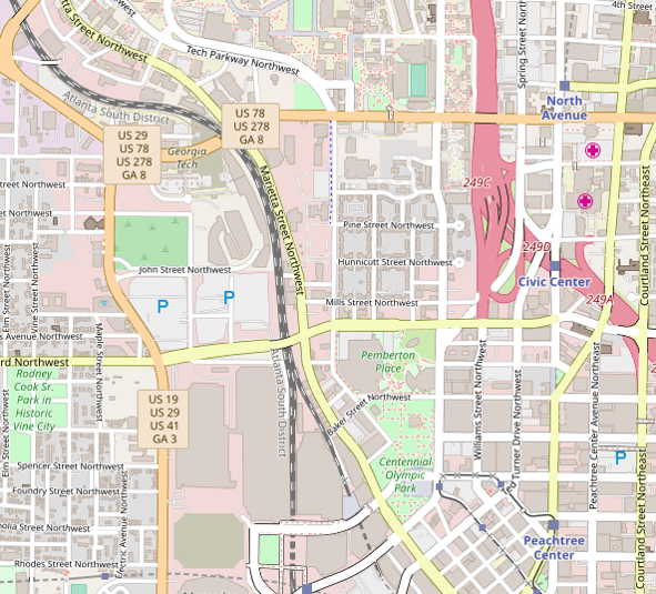
A GIS is a Geographic Information System.
- Captures, stores, manages, and visualizes geospatial data
- Performs geospatial analysis
- Makes maps
2 GIS definitions
GIS is a powerful set of tools for collecting, storing, retrieving at will, transforming and displaying spatial data from the real world for a particular set of purposes.
A geographic information system is a facility for preparing, presenting, and interpreting facts that pertain to the surface of the earth.
A GIS is an organized collection of computer hardware, software, geographic data, and personnel designed to efficiently capture, store, update, manipulate, analyze, and display all forms of geographically referenced information.
A geographic information system (GIS) is an information system that is designed to work with data referenced by spatial or geographic coordinates. In other words, a GIS is both a database system with specific capabilities for spatially-referenced data, as well [as] a set of operations for working with data... In a sense, a GIS may be thought of as a higher-order map.
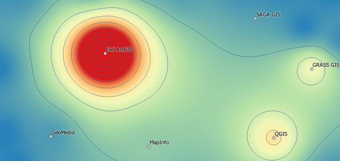
3 GIS “terrain”
4 Various GIS packages
4.1 Esri ArcGIS
Proprietary $$$
User friendly
Commercial support
User friendly
Blackbox
Waiting for fixes
Windows only
4.2 QGIS
Open source $0
User friendly
Large user base
400 plugins
Work with GRASS GIS
Multiple platforms
4.3 GRASS GIS
Open source $0
Clunky UI
Scientists and developers
350 scientific modules and addons
Multiple platforms
4.4 MapWindow
Open source $0
User friendly
Windows only
5 Who uses a GIS?
- Scientists
- Engineers (e.g., hydrologic & hydraulic modeling)
- Business analysts
- Sales (e.g., traveling salesman problem)
- Service
- Marketing
- FEMA (e.g., flood insurance)
- Counties (e.g., facility management)
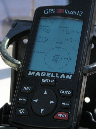
6 Collecting spatial data
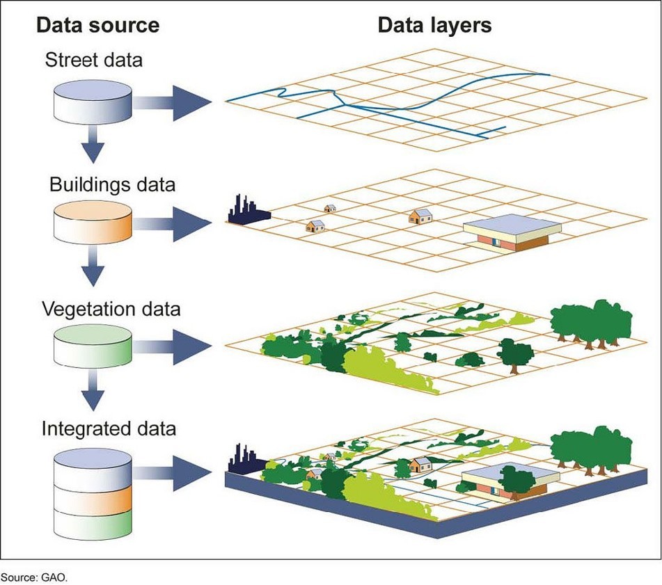
7 Layers
8 Data types
8.1 Vector
- Points (e.g., trees, street lights)
- Polylines (e.g., roadways)
- Polygons (e.g., building footprints)
- Scalable
8.2 Raster
8.3 Imagery
9 Attributes
“Information about spatial data” (metadata) makes a GIS more powerful.
10 Exercise: ArcGIS Online web map
Let’s create a new ArcGIS Online web map using some shapefiles in nc_spm_08_grass7_exercise.zip.
